UnBound
For those seeking their next outdoor adventure


How To Talk With Photography Clients Without Mansplaining
In my years as an adventure photographer, one thing is clear: your clients know what they know, and sometimes that knowledge can be more than yours. But often, especially after you have been in the industry for a while, you find that the person hiring you knows less about the creative or technical side than you do. That means you have to recognize this, educate them, and keep moving forward.

How to Climb Mount Massive in Colorado
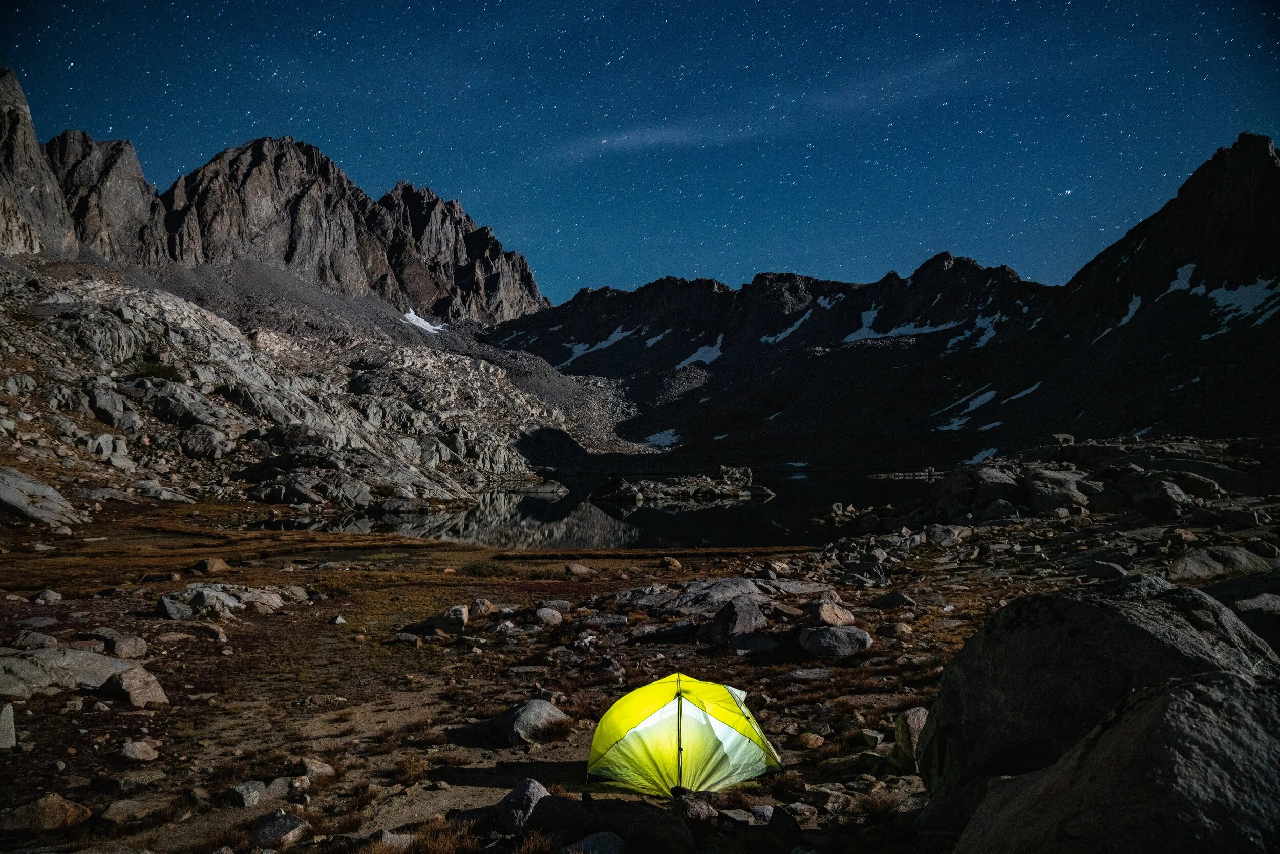
Mount Massive lives up to its name. At 14,421 feet, it’s the second-highest peak in Colorado and just 14 feet shorter than Mount Elbert. What sets it apart is its long, hulking summit ridge—the mountain stretches over three miles and features five summits above 14,000 feet, more than any other peak in the Lower 48. Climbing Massive is a true alpine experience, and the standard East Slopes route offers a non-technical but strenuous path to the summit.

"I Need That" a Poem by Dalton Johnson
"I Need That" is a poem by Dalton Johnson published in his first book 51 Poems For Humankind To Think About. This article also has a video of Dalton reading aloud his poem. You can purchase this book on Dalton Johnson's website or on Amazon.

Know When To Say "No" To A Photography Job
In this industry, your clients usually know what they want — but not always what they need. And after you’ve spent some time in adventure photography, you start to realize that sometimes you actually know more than the people hiring you. That’s where the tricky part begins: educating your clients without coming across as a know-it-all.
To Win In Photography, You Have To Play The Long Game
If you want to make it as an adventure photographer, you have to play the long game. I wish there was a faster route. But after nearly a decade in this industry, I can say this with confidence: every meaningful success I’ve had has been built slowly, layer by layer.

How to Climb Mount Elbert in Colorado
Mount Elbert stands as the tallest peak in Colorado at 14,440 feet and is the second-highest mountain in the contiguous United States. Despite its impressive height, Mount Elbert is one of the more accessible 14ers, making it a favorite for first-time summit attempts. The standard Northeast Ridge route offers a well-traveled Class 1 trail with expansive alpine views, moderate grades, and a steady climb through forest and tundra.

How to Climb La Plata Peak in Colorado
La Plata Peak, rising to 14,336 feet, is the fifth-highest summit in Colorado and one of the most scenic 14ers in the Sawatch Range. Its name—Spanish for “The Silver”—reflects the mining history of the area, but today it draws hikers with its massive elevation gain, alpine views, and challenging terrain. The standard Northwest Ridge route is a tough but rewarding Class 2 climb with a bit of everything: forests, streams, switchbacks, talus, and ridge hiking.
"All Things Which" a Poem by Dalton Johnson
"All Things Which" is a poem by Dalton Johnson published in his first book 51 Poems For Humankind To Think About. This article also has a video of Dalton reading aloud his poem. You can purchase this book on Dalton Johnson's website or on Amazon.

An Influencer Told BF Goodrich To Hire Me and They Listened, Here's Why
An influencer told BFGoodrich to hire me and they listened.
Here's How to Climb Huron Peak in Colorado
Huron Peak, at 14,003 feet, is one of Colorado’s most beloved 14ers—and for good reason. It offers stunning views, a well-built trail, and a more remote feel than many of the state’s other high peaks. Though it's one of the lower 14ers by elevation, Huron’s dramatic surroundings make it a standout summit experience in the Sawatch Range.

How to Climb Missouri Mountain in Colorado
Missouri Mountain, standing tall at 14,067 feet, is one of the more scenic peaks in the Sawatch Range. Known for its striking summit ridge and wide-ranging views, it offers a slightly more adventurous feel than its nearby neighbors, Mount Belford and Mount Oxford. While still non-technical, Missouri’s summit ridge adds just enough spice to make this 14er a standout.
"Connectionless" a Poem by Dalton Johnson
"Connectionless" is a poem by Dalton Johnson published in his first book 51 Poems For Humankind To Think About. This article also has a video of Dalton reading aloud his poem. You can purchase this book on Dalton Johnson's website or on Amazon.

Here's How to Climb Mount Oxford in Colorado
Mount Oxford, rising to 14,153 feet, is often summited as a tag-along to nearby Mount Belford. While not typically climbed on its own due to its remote location, Oxford offers rewarding solitude, stunning ridgeline hiking, and a true sense of accomplishment. It’s best suited for experienced hikers ready for a big day in the mountains.

Here's How to Climb Mount Belford in Colorado
Mount Belford, standing tall at 14,197 feet, is one of Colorado’s Collegiate Peaks and a favorite for hikers aiming to summit multiple 14ers in a day. Its close proximity to Mount Oxford makes it an ideal two-peak outing, though Belford alone offers a satisfying challenge with big elevation gain, well-maintained trail, and expansive alpine views.

Here's How to Climb Mount Columbia in Colorado
Mount Columbia, at 14,073 feet, is part of Colorado’s Collegiate Peaks and lies just north of its loftier neighbor, Mount Harvard. Once notorious for its steep, eroded slopes, recent trail improvements have made this a more enjoyable hike—though it’s still a serious effort. The standard route via the new Columbia Trail remains Class 2, with long mileage, big gain, and sweeping views across Horn Fork Basin.
"Roller-Caster Rides" a Poem by Dalton Johnson
"Roller-Caster Rides" is a poem by Dalton Johnson published in his first book 51 Poems For Humankind To Think About. This article also has a video of Dalton reading aloud his poem. You can purchase this book on Dalton Johnson's website or on Amazon.

Real Content Wins Over Staged Creative Everytime
Have you ever watched somebody scroll their feed? People move quick and don't give you a second chance if you're a brand putting out sterile content that is staged.

Here's How to Climb Mount Harvard in Colorado
Mount Harvard stands at 14,420 feet and is the third-highest peak in the Lower 48. Nestled deep in the Collegiate Peaks Wilderness, it’s a long, non-technical Class 2 hike that rewards endurance with big alpine views and quiet summit solitude. The route is straightforward, but the approach is long—expect a full-day effort.
How To "Make It" as a Photographer In Today's Landscape
"Making it" just as a photographer doesn't really happen in today's landscape, but it's still possible with some creativity. Take a second and think about the biggest photographer's you know, I bet none of them are "just a photographer":

This Shoot Was My Intro to Meeting Leah, The Dancer.
We all sat around a campfire in Alabama Hills, CA. I lived in a van, Andrew lived in the Museroamer, and Leah lived out of a car while on a road trip. Shooting the shit about photo and video ideas, Leah had an idea:
"I've always wanted to do a photo shoot hula hooping in an abandoned building!"